 6800ft.






Tuesday Sunny |
Wednesday Sunny |
Thursday Sunny |
Friday Sunny |
Saturday Chance Rain Showers |
Sunday Chance Showers And T-Storms |
Labor Day Chance Rain Showers |
|
| High: 72 °F | High: 73 °F | High: 73 °F | High: 73 °F | High: 70 °F | High: 69 °F | High: 74 °F | |
Tonight Clear |
Tuesday Night Clear |
Wednesday Night Clear |
Thursday Night  Mostly Clear |
Friday Night  Partly Cloudy then Chance Rain Showers |
Saturday Night  Chance Rain Showers |
Sunday Night  Chance Rain Showers |
|
| Low: 43 °F | Low: 41 °F | Low: 39 °F | Low: 41 °F | Low: 43 °F | Low: 45 °F | Low: 47 °F | |
Ben's WX Summary
- Updated: Monday @ 10:13pm
Much excitement in the weather world regarding Invest 95 well south of Cabo, which is forecast to become the next named storm in the Eastern Pacific hurricane season. Will we see a direct impact across Southern California? Very unlikely; could we pick up some moisture for showers and storms over the Labor Day weekend? Much more likely! In the short term, a trough continues to deepen off the West Coast, leading to our first major cool-down in a while. In fact, temperatures will drop to around 5 degrees below average by the middle of the week, with gusty west winds to 25 mph continuing at times. Expect mostly sunny skies on Tuesday, breezy and tad cooler with highs in the lower 70s. West winds 10-20 mph could gust to near 30 mph during the afternoon, with stronger gusts on the desert slopes. Daytime temperatures will remain in the lower 70s through the end of the week, with overnight lows generally in the 50s, continued breezy during the afternoons as the onshore flow persists. Whatever comes of that tropical system in the Pacific will track northwestward off the coast of Baja and likely turn westward out to sea towards the weekend. At the same time, low pressure off the West Coast will likely sling some of its moisture in our direction, with showers and thunderstorms possible over Labor Day weekend, especially over the mountains and deserts. Additional cooling is expected this weekend as well as daytime highs drop into the 60s, potentially making for a cool and wet unofficial ending to our summer season. Will fine-tine the forecast for the weekend throughout the week, so check back for the latest details!
| Current Conditions | Wind | Rain | Outlook | ||||||||||||||||||||||||||||||||||||
|
|
|
|
||||||||||||||||||||||||||||||||||||
| Humidity & Barometer | Snowfall | Moon | |||||||||||||||||||||||||||||||||||||
|
|
|
|||||||||||||||||||||||||||||||||||||
| UV Index | Solar Radiation | ||||||||||||||||||||||||||||||||||||||
|
|
||||||||||||||||||||||||||||||||||||||


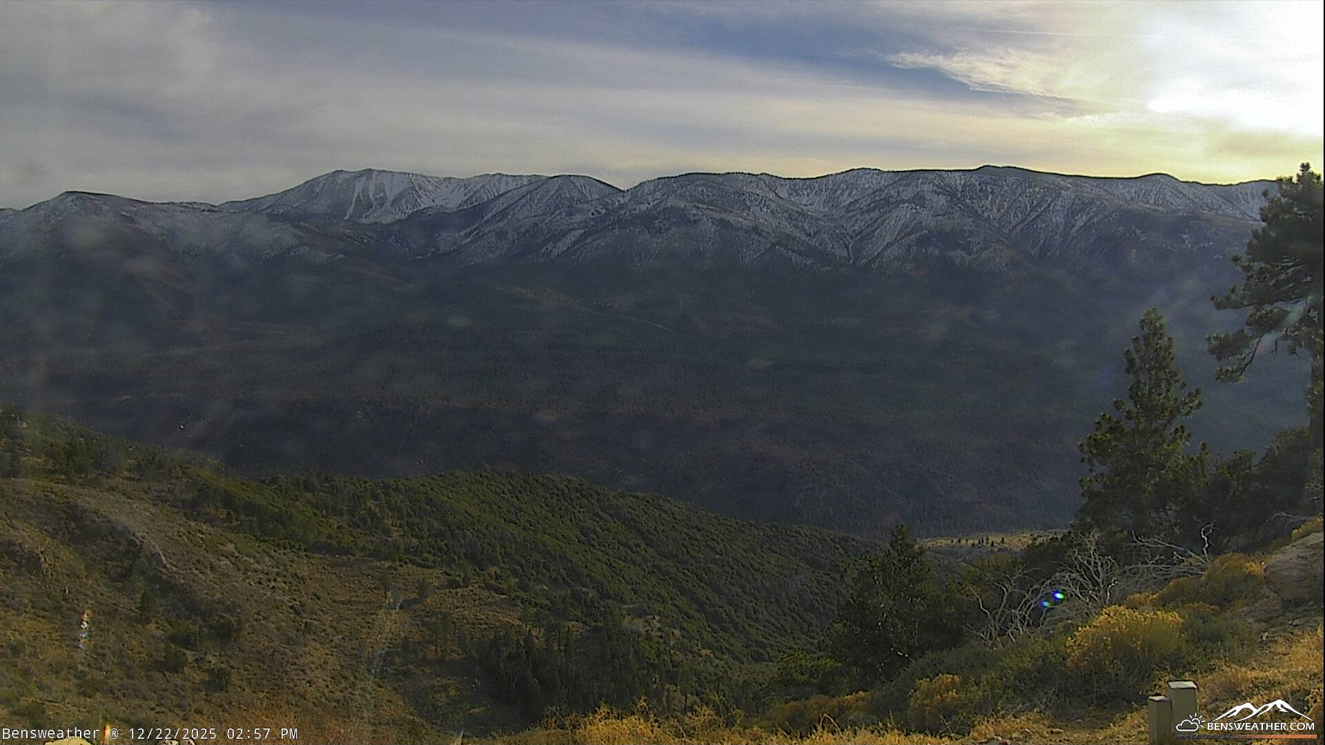
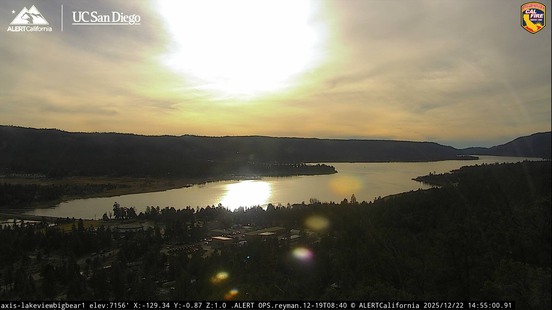
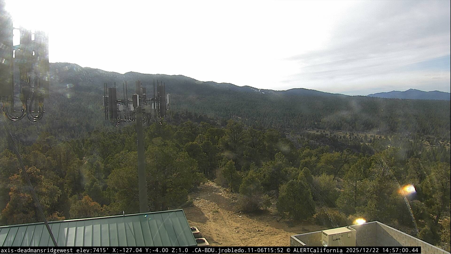
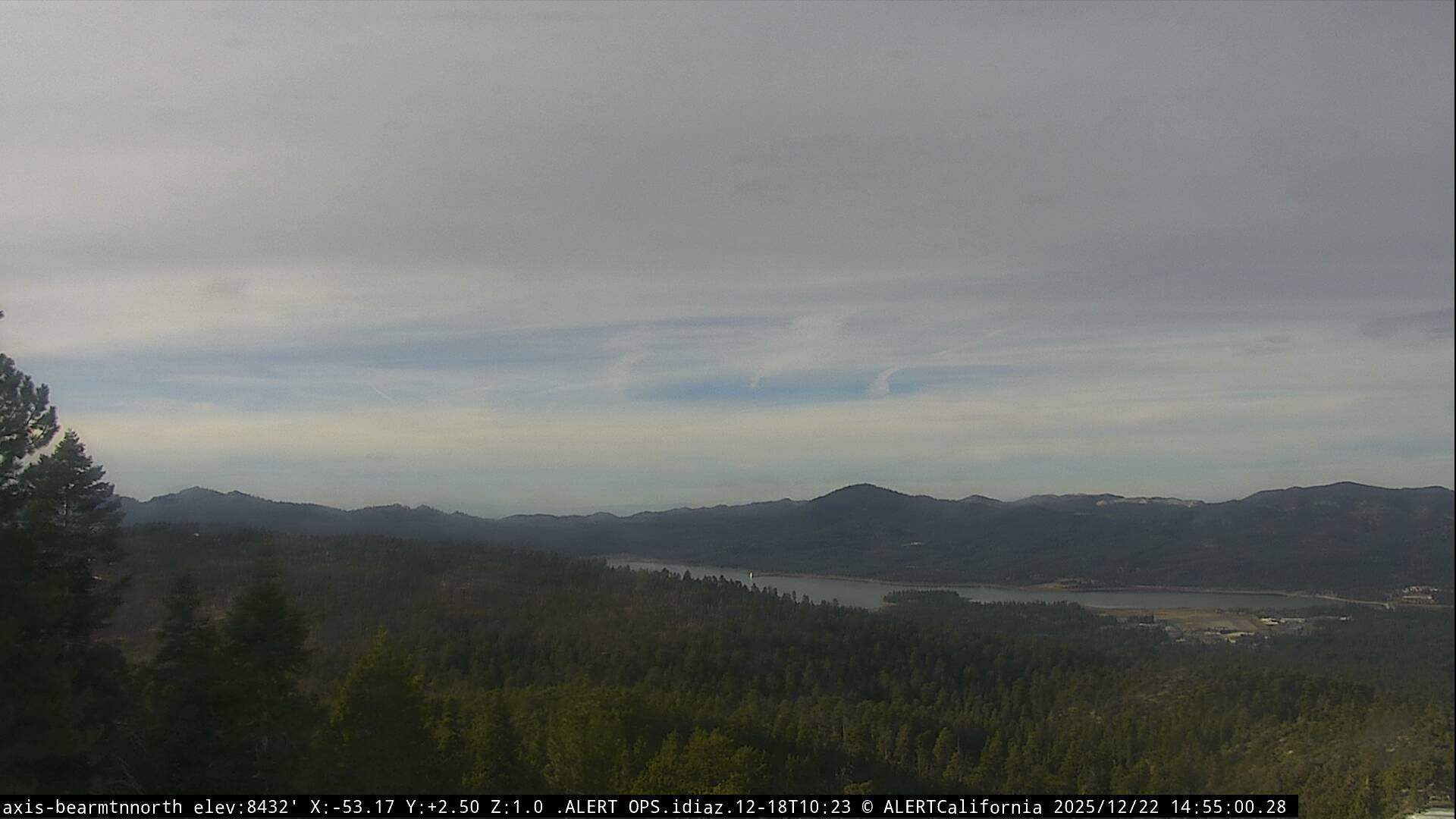
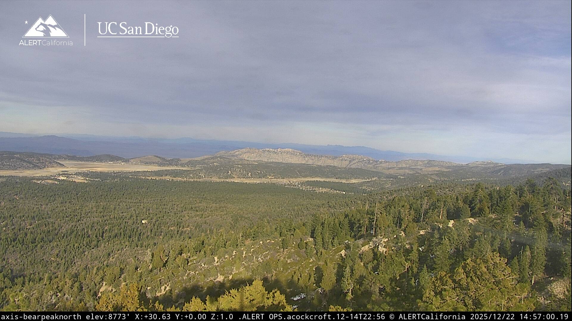
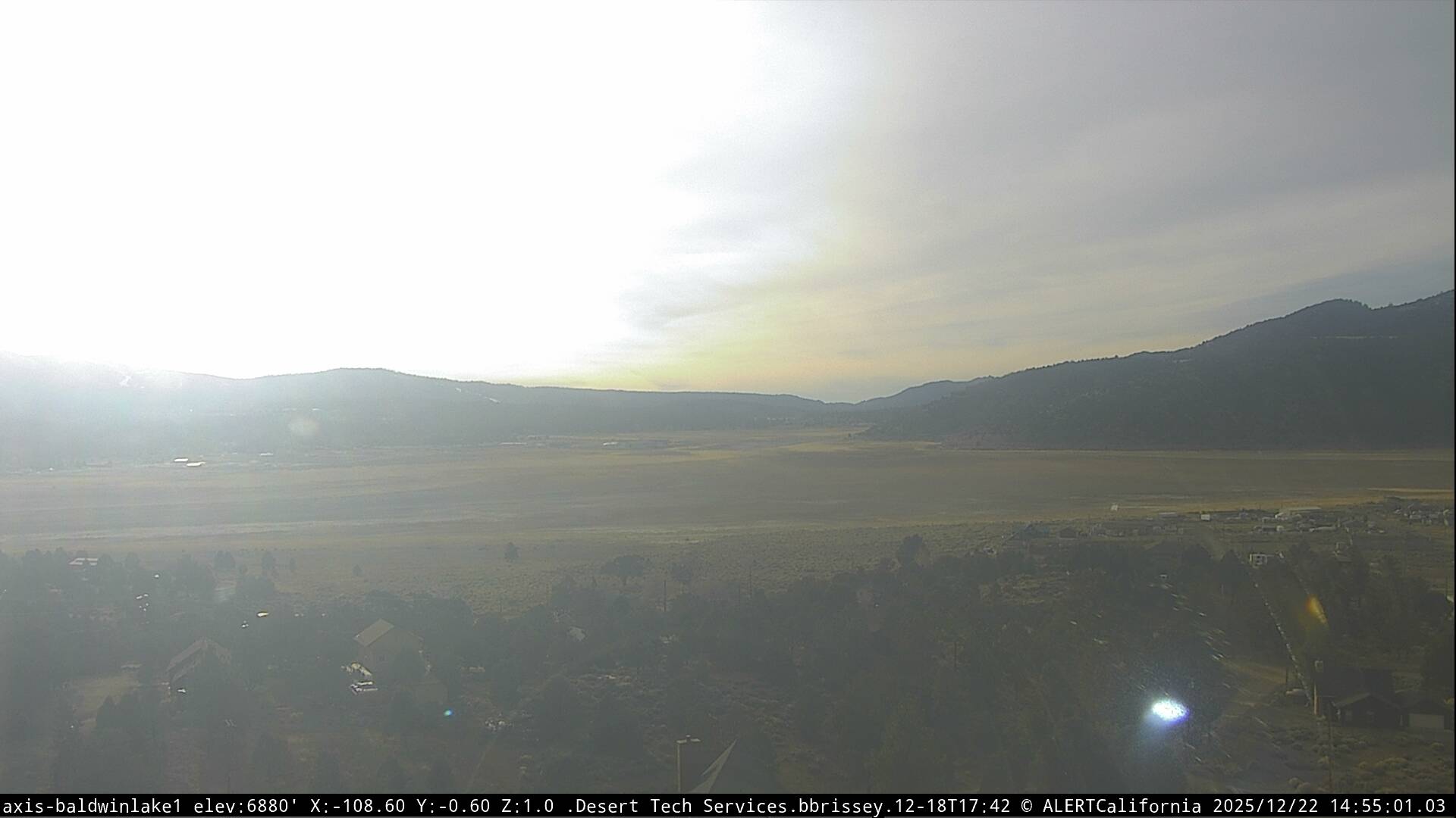
Live Cams

 © bensweather